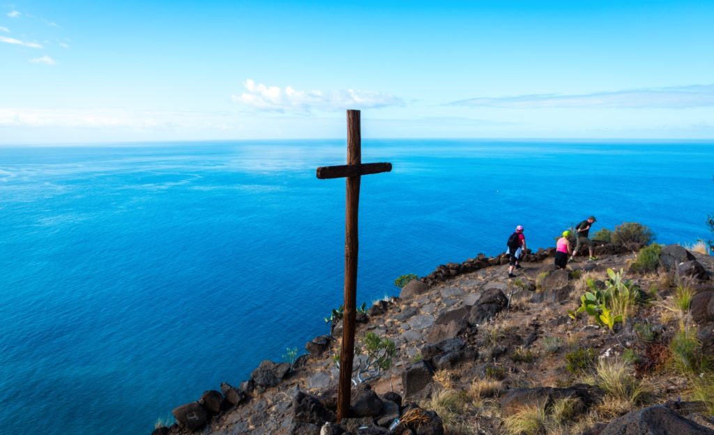
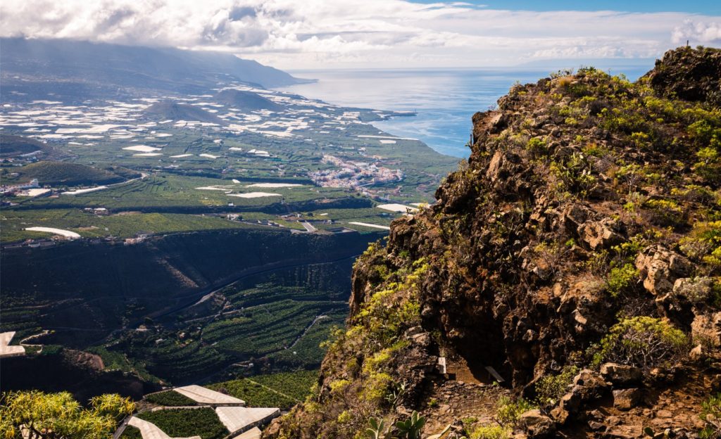
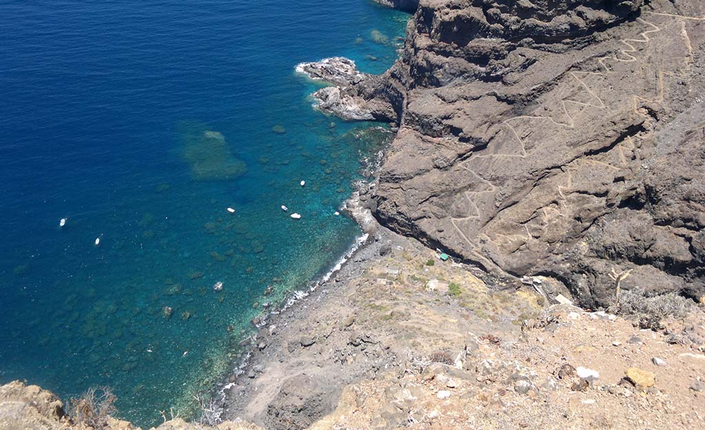
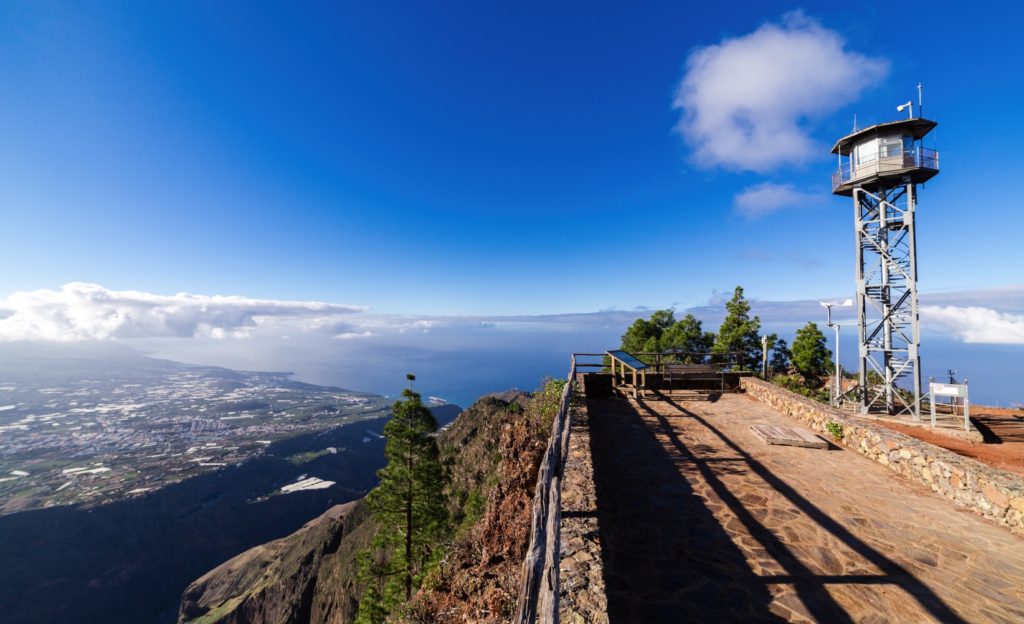
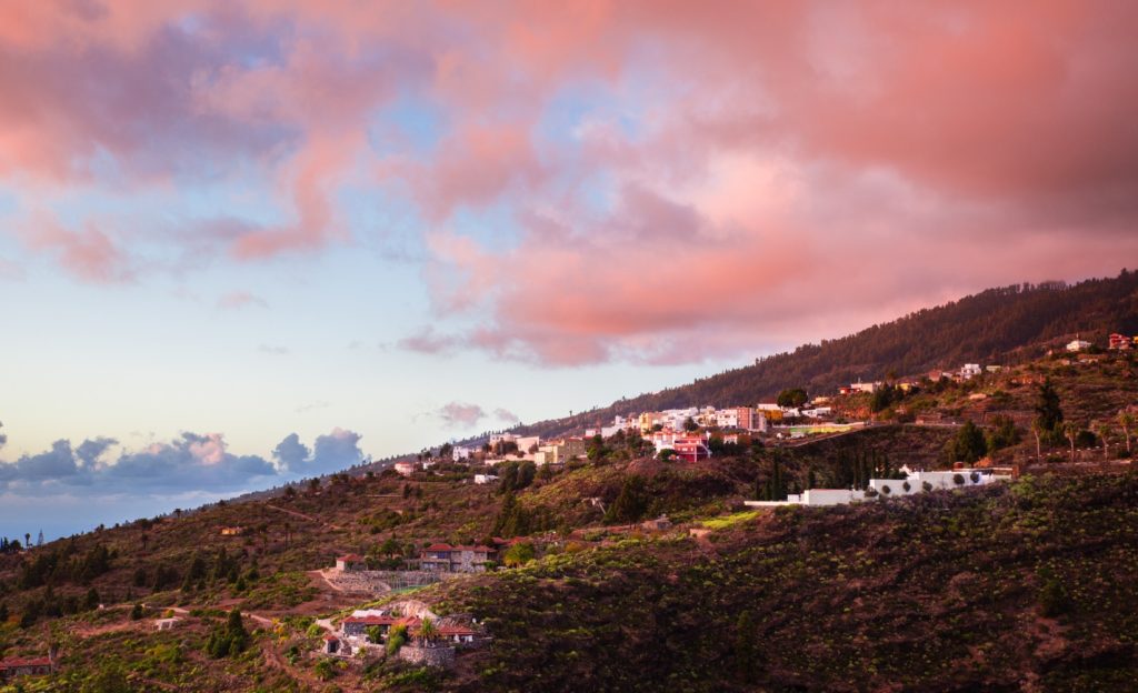
The ancient tribal territories of La Palma are more or less the same as the current municipalities. Until the Spanish conquest, at the end of the fifteenth century, Tijarafe was part of the kingdom of Hiscaguán, which also included the municipality of Puntagorda. The actual municipal borders, as they are today, were not determined until 1812. As the northern limit this monumental canyon was chosen, which starts on the edge of the Caldera de Taburiente and ends in the steep walls of almost three hundred meters, as can be seen from here. This is an ideal spot to take a break from driving, offering a fountain of drinking water on one side of the road, and a recreational area with wooden benches and tables on the other.
Virtual tour:
La extensión de los bandos o cantones prehispánicos de La Palma es, a grandes rasgos, la misma que la de sus actuales municipios. Hasta la conquista castellana, ocurrida a finales del siglo XV, Tijarafe formaba parte del reino de Hiscaguán, que también abarcaba lo que hoy conocemos por Puntagorda. Esta situación llega hasta 1812, año en el que se reconoce por primera vez al municipio con su territorio actual. Su límite norte quedó establecido entonces en este monumental barranco, que nace en el mismo borde de la Caldera de Taburiente y muere en las masivas paredes de casi trescientos metros que pueden contemplarse desde este lugar. Es también un buen sitio para descansar del volante, puesto que en una orilla de la carretera encontraremos una toma de agua potable y en el otro una pequeña área recreativa con mesas y bancos de madera.
